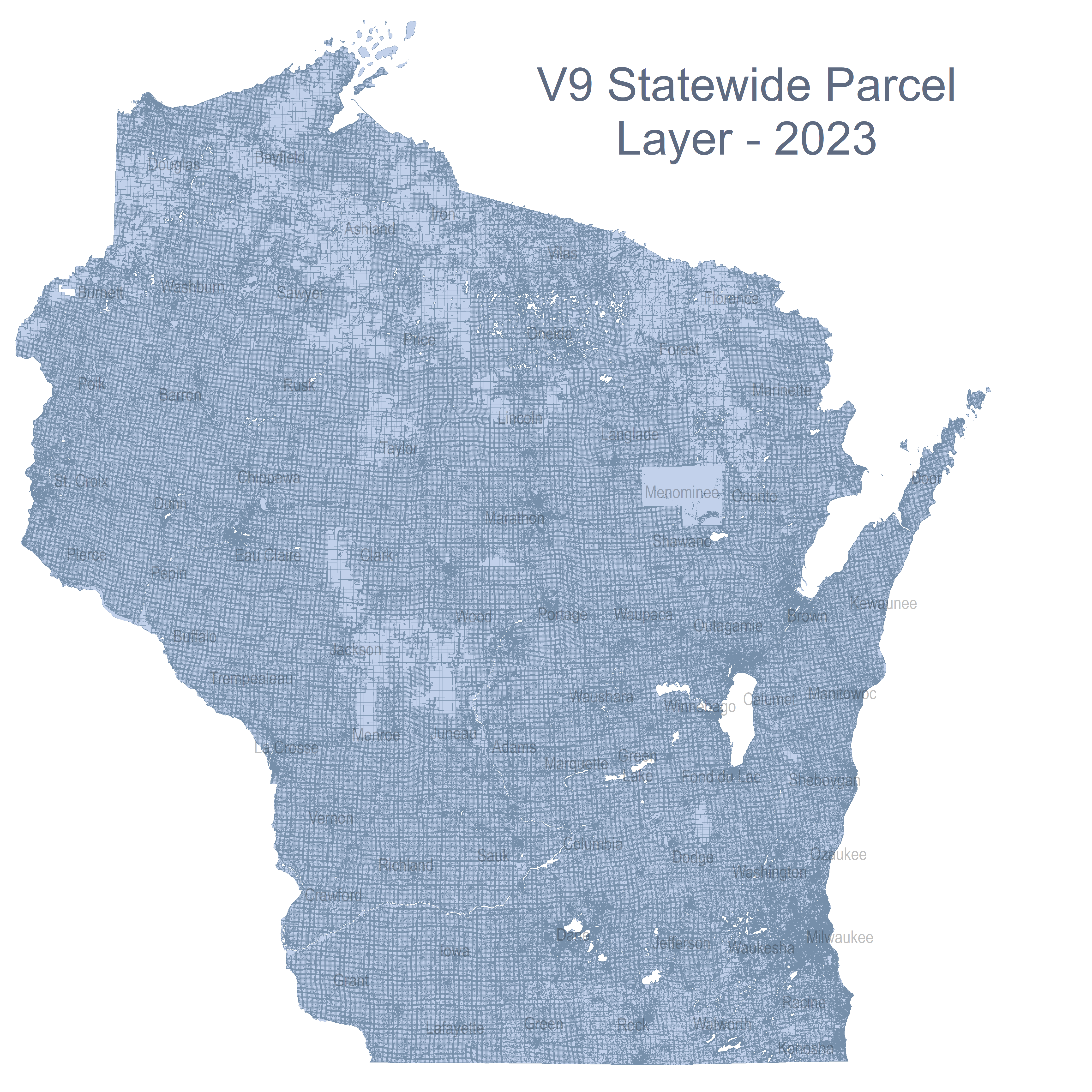
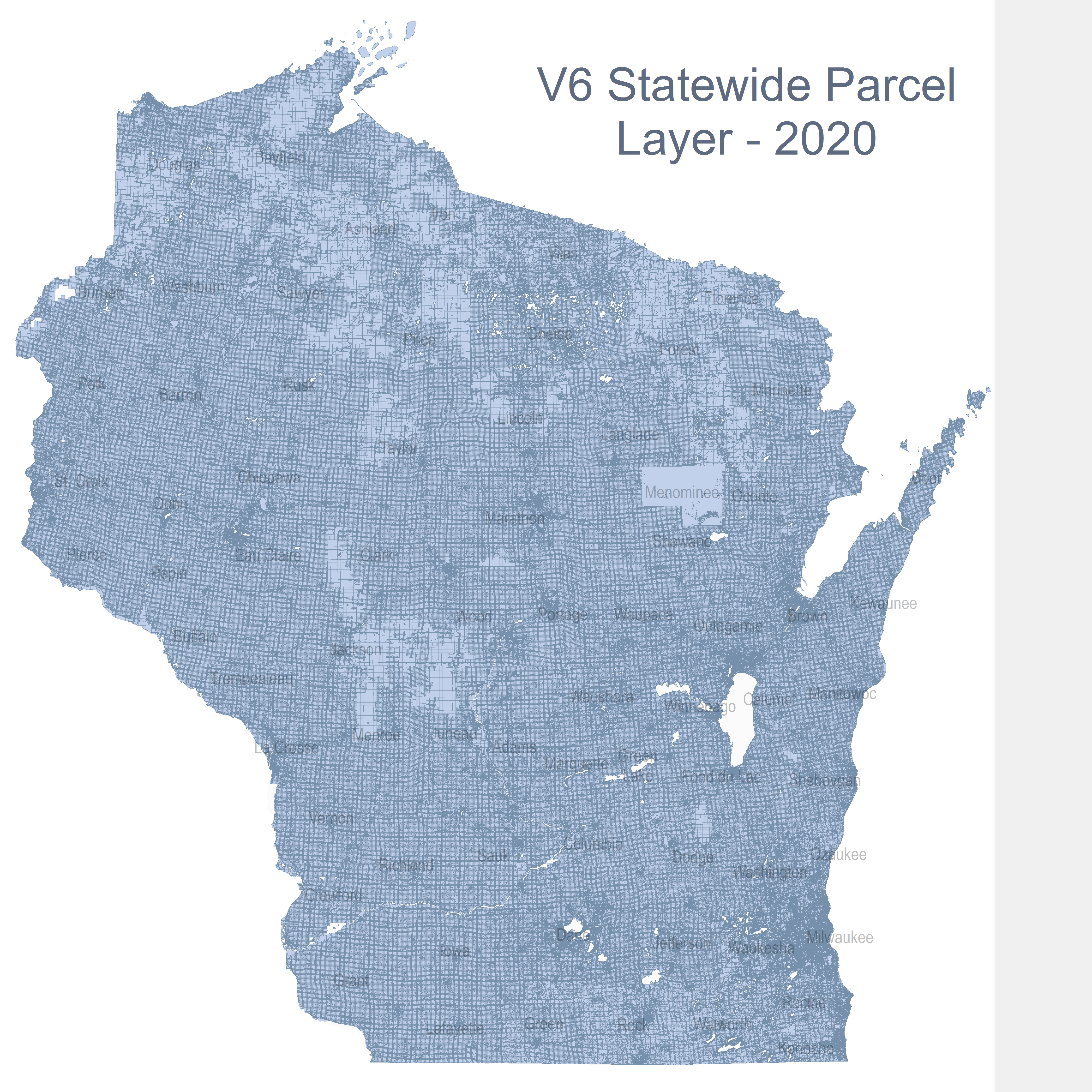
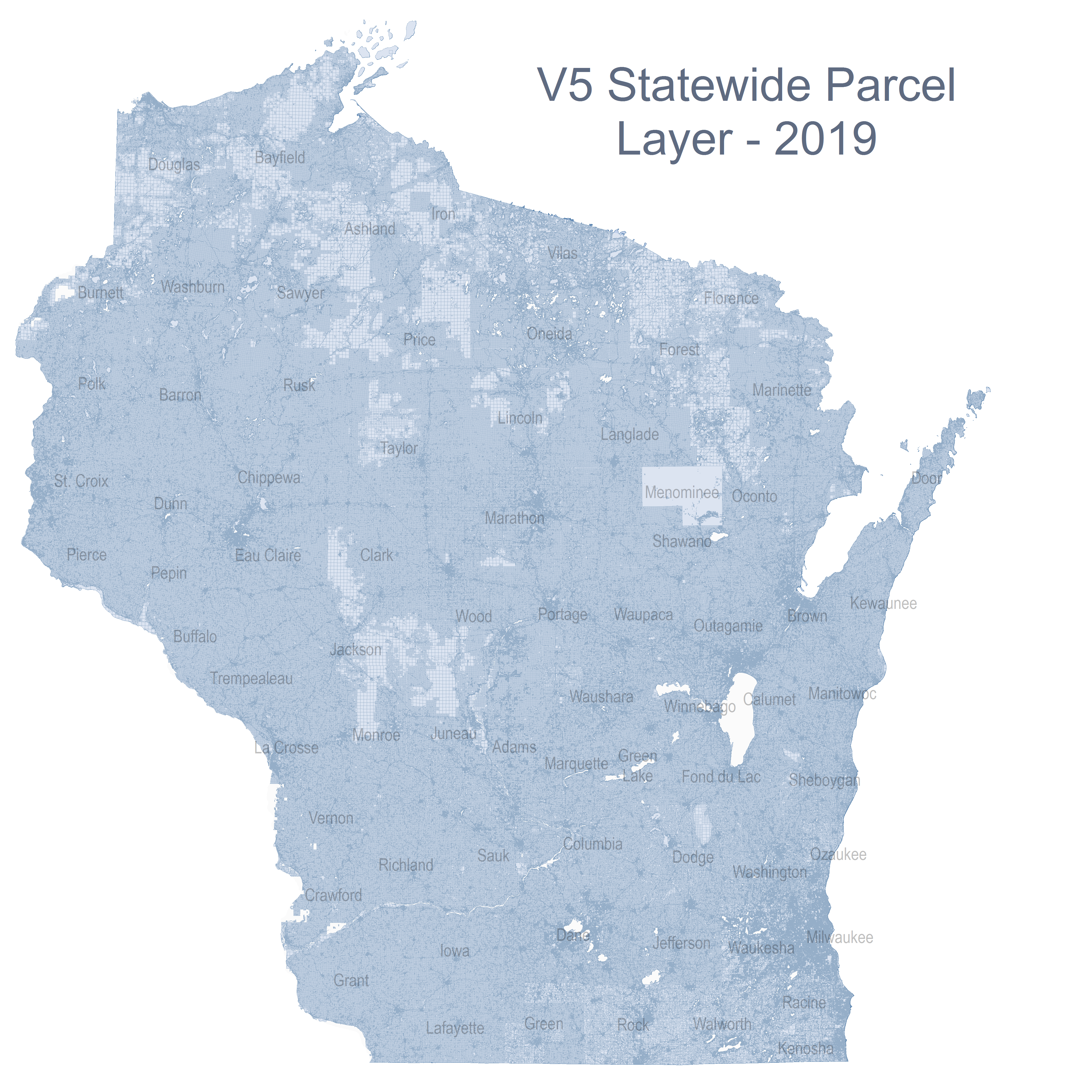
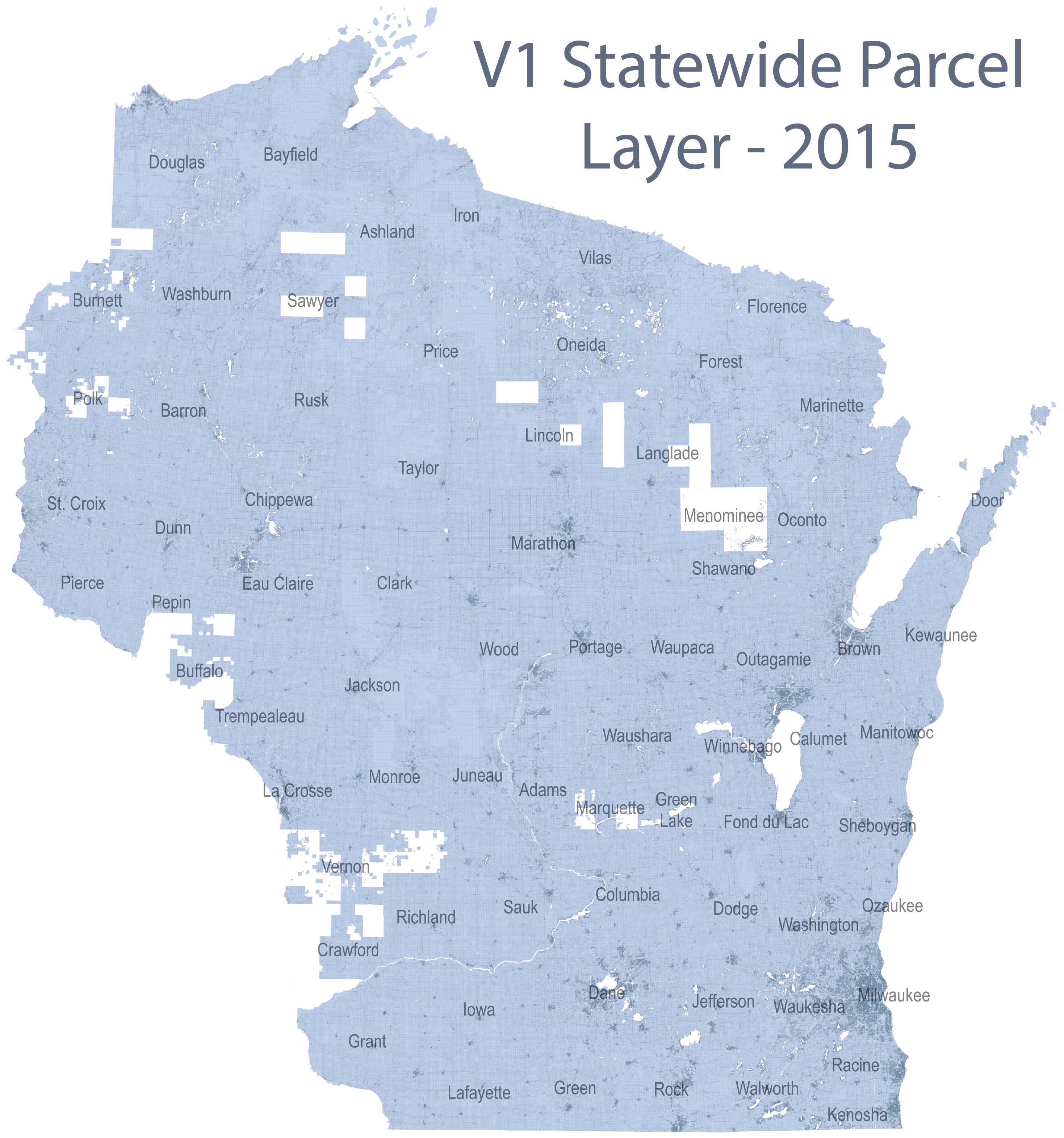
Statewide Parcel Map Initiative
.
 .
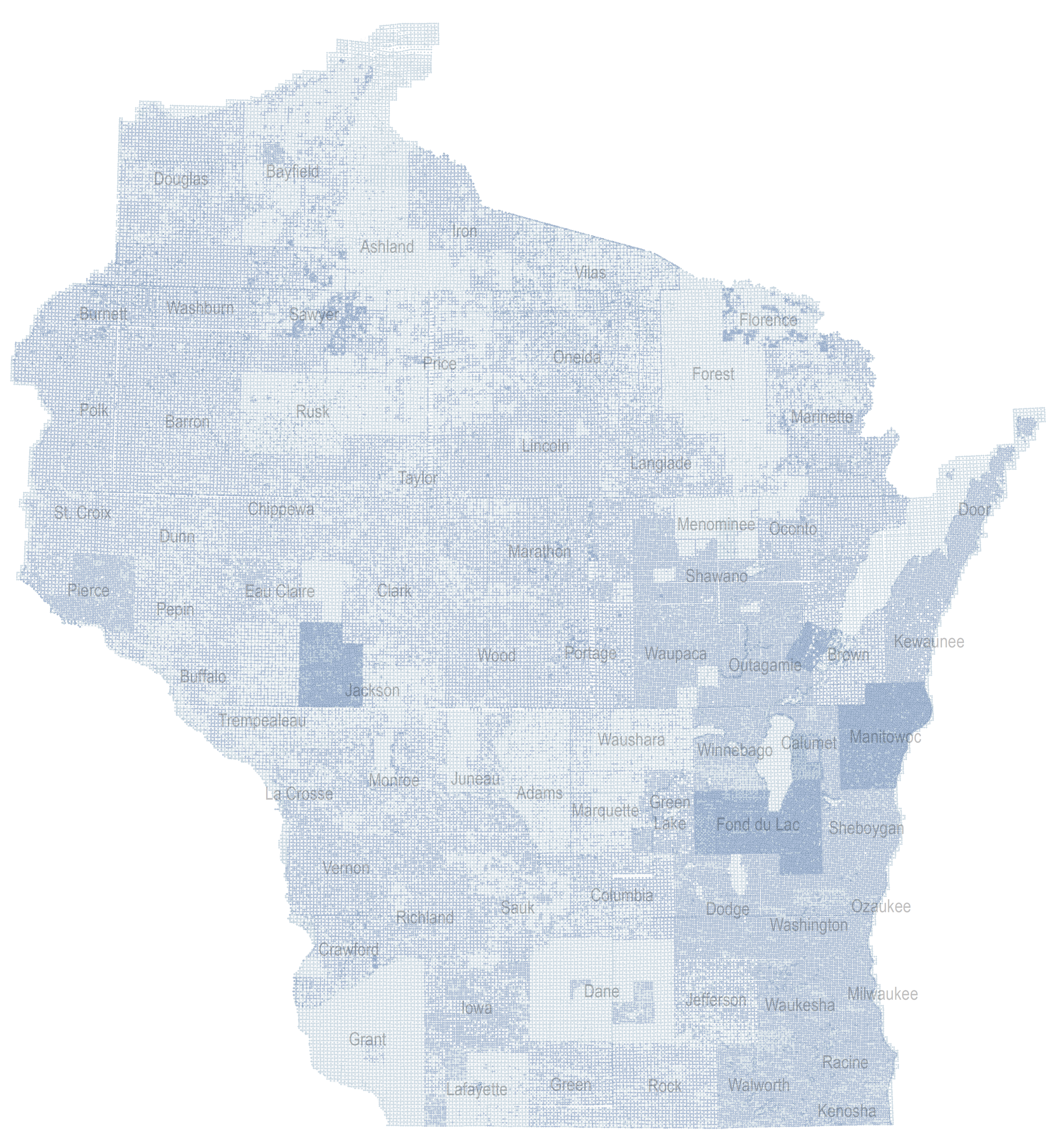
Statewide Data
.
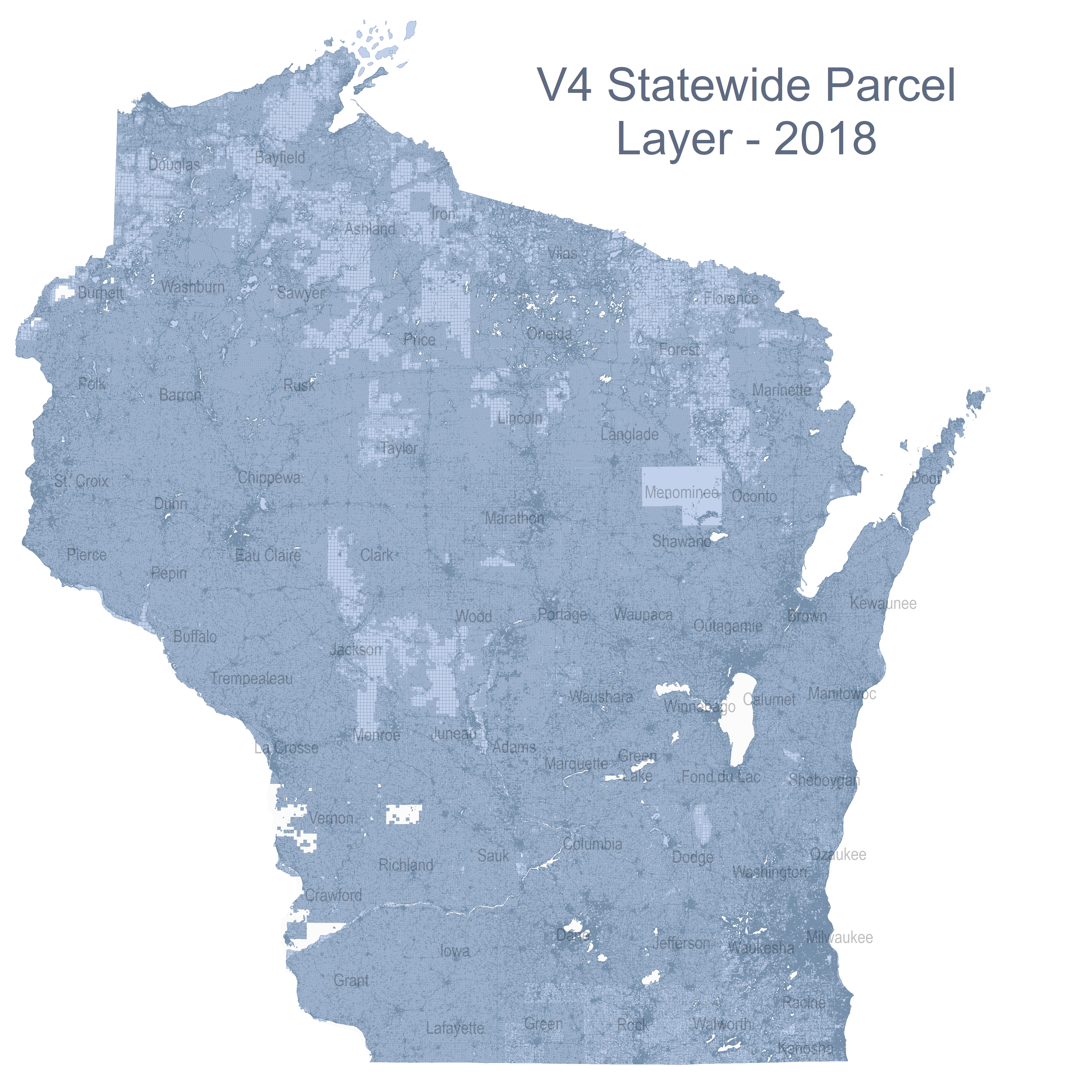
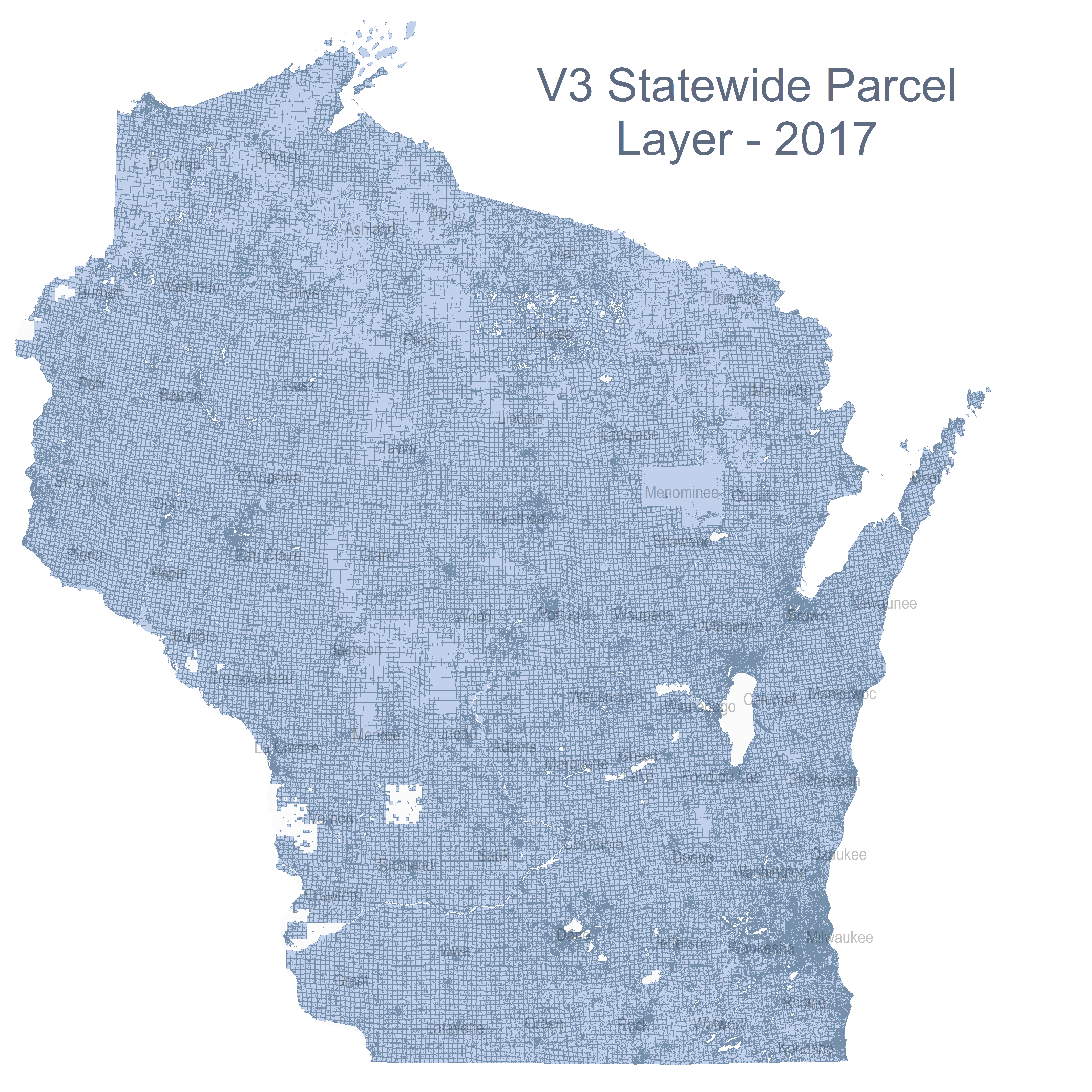
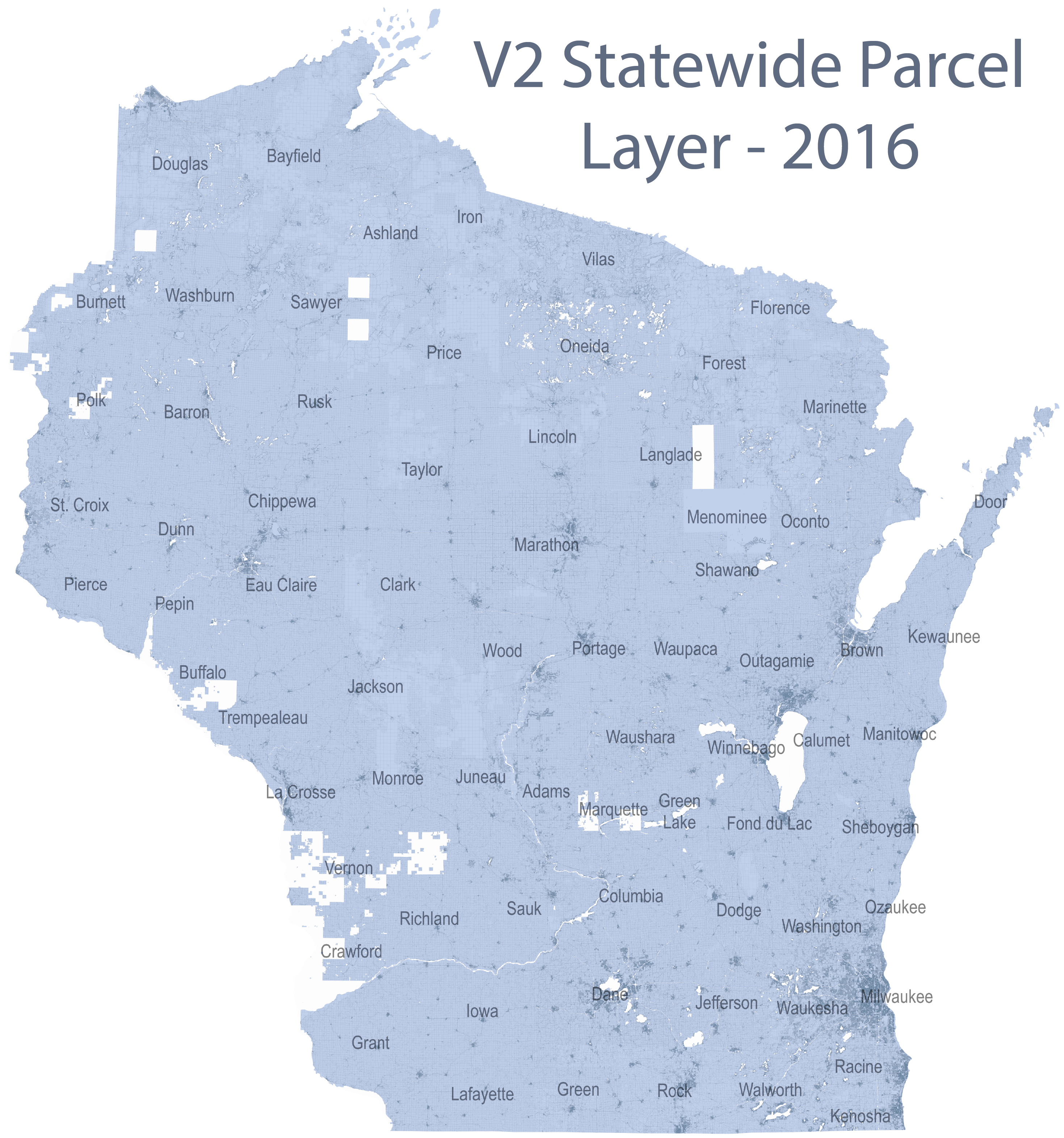
Statewide Data
The information shown on this map was obtained from Wisconsin counties in the first half of 2025 and thus may not be the most current, comprehensive data available. Source data for parcel polygons was collected between January–May of 2025. However, the tax roll year for most records is 2024, as the assessment cycle lags a year behind. To ensure the most current, comprehensive parcel data, consult the local government’s land information websites first, or contact the city or county land information office directly. The next release of the statewide parcel layer, V12, is tentatively scheduled for June 30, 2026.
No warranty, expressed or implied, is made regarding accuracy, completeness, or legality of the information herein. The boundaries depicted on this map do not represent the legal ownership boundaries of any property. The delineation of legal boundaries may only be conducted by a licensed surveyor. This map is not a survey of the actual boundary of any property this map depicts.