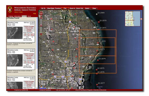
On July 1, 2011, the Wisconsin Historical Records Advisory Board announced that the “Changing Landscapes of Wisconsin” project had won the 2011 Governor’s Award for Archival Innovation.
“Changing Landscapes of Wisconsin” is a three-year collaboration between the Wisconsin State Cartographer’s Office, the Robinson Map Library and the University of Wisconsin Digital Collections Center. The project was funded by a grant from the Ira and Ineva Reilly Baldwin Wisconsin Idea Endowment at the University of Wisconsin-Madison.
The main outcome of the project is the Wisconsin Historic Aerial Image Finder (WHAIFinder), which provides access to a rare collection of 1937-41 aerial photographs covering the state of Wisconsin, the first such systematic aerial survey of the state and a baseline dataset for understanding important changes to Wisconsin’s landscape over time.
The project was nominated for the award by Kent Peña of the US Department of Agriculture’s Natural Resources Conservation Service. An award ceremony will be held in October; more details on this ceremony will be forthcoming.

