
The US Geological Survey (USGS) has released version 3.0 of topoBuilder, an online app that allows users to create free, customized topographic maps. These maps, known as OnDemand Topos, are delivered via email.
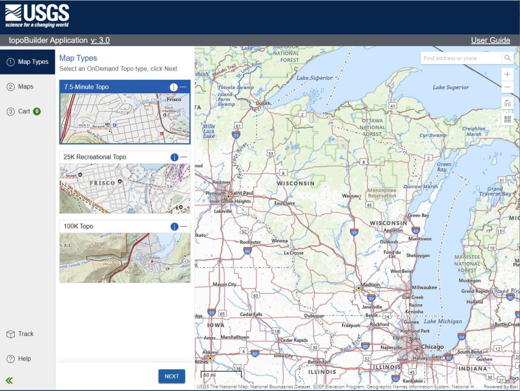
topoBuilder currently offers three types of OnDemand Topos: 7.5-Minute Topos, 100K Topos, and 25K Recreational Topos. 7.5-Minute Topos closely resemble traditional paper 7.5-minute USGS topo maps and the newer digital US Topos. 100K Topos are similar to the historical 30×60-minute topo maps. 25K Recreational Topos are a new type of USGS topo map highlighting recreational datasets for activities like hiking, camping, picnicking, snowmobiling, biking and hunting.
The topoBuilder interface allows users to select a custom map area. OnDemand Topos do not need to align with traditional USGS map grids. Users who are familiar with map seams – the lines between adjacent map sheets, which invariable seem to fall right in the middle of the area of interest – will appreciate this feature. In addition to these Custom Extent maps, users can also select an On-Grid Map conforming to the boundaries of an existing top map grid.
Maps can be delivered in GeoPDF or GeoTIFF formats, which offers additional advantages. GeoPDFs and GeoTIFFS are georeferenced, which means they can be used with GIS, or with mapping tools on your phone. GeoPDFs also allow customization options, including turning selected layers on and off. Measurement tools (length, distance, area, etc.) are also possible with GeoPDFs.
Check out the topoBuilder app and documentation using the links below.