
Start Here:
GIS parcel data in Wisconsin is created and maintained at both the municipal and county levels. For the majority of Wisconsin counties, parcel data is regularly aggregated from municipal to county-wide datasets if the parcels are not originally created by the county. There are a handful of small areas within the state that are not yet digitally parcel mapped.
GIS parcel datasets in Wisconsin are most commonly found at three different levels of aggregation: municipal, county, and statewide.
Statewide
Wisconsin’s public statewide parcel dataset is available through the Wisconsin Statewide Parcel Initiative’s data distribution page. Individual County parcel dataset downloads can be found through the Statewide Parcel Initiative’s county download page. For more information on this project, visit the DOA’s Parcel Initiative project page.
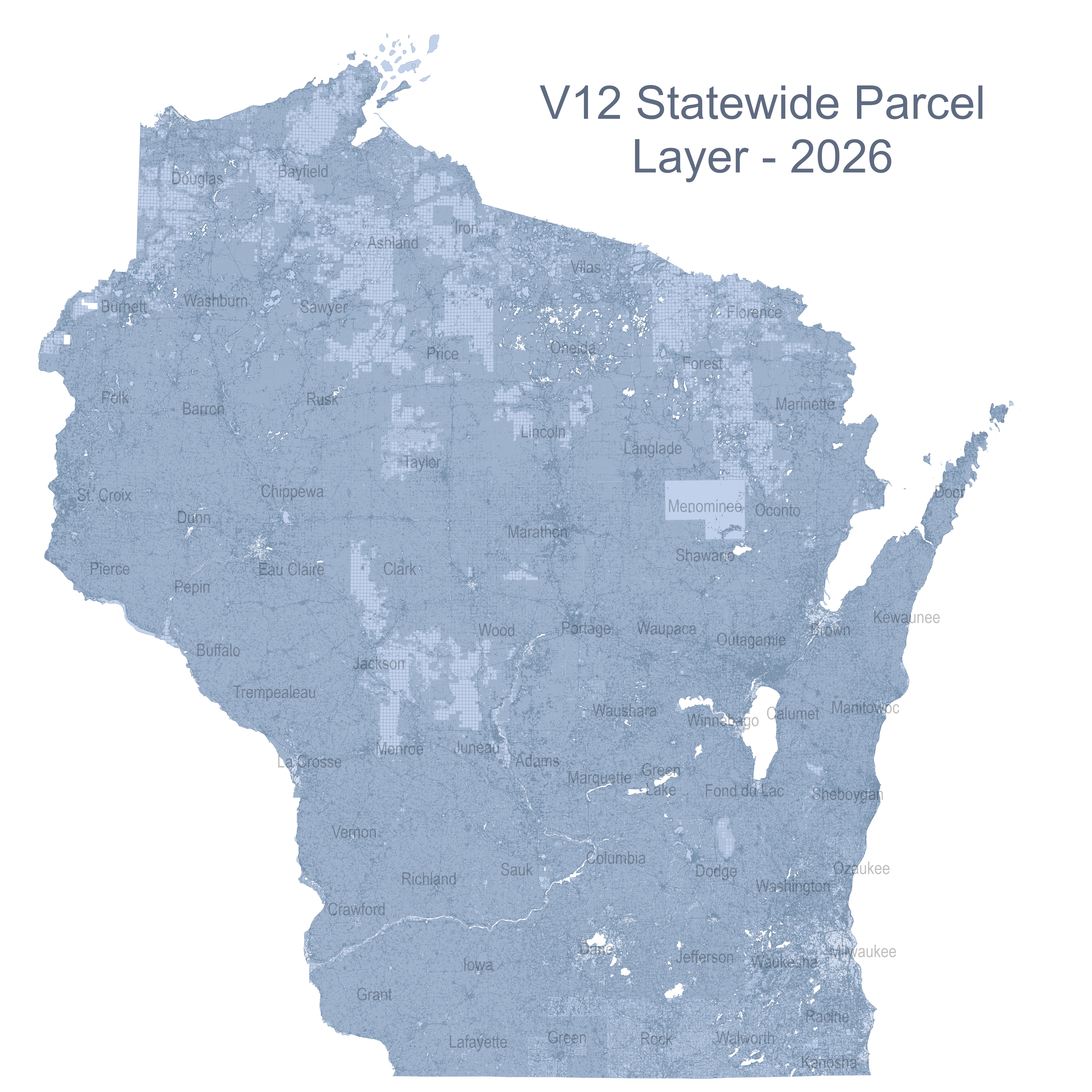
Map showing gaps in Wisconsin parcel coverage as of June 30, 2026 (9.7MB, click to enlarge)
Statewide REST Endpoint
The “V12” Wisconsin Statewide Parcel Layer is hosted in ArcGIS Online as a REST service and can be found at the following URL:
*Subsequent versions of the parcel layer will be published to the above service directory without interruption to the services.