
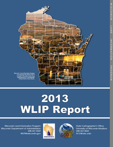
This report — jointly published by the Wisconsin Department of Administration and the State Cartographer’s Office — discusses how Wisconsin Land Information Program (WLIP) funding is invested in county geospatial infrastructure, the 2013 county survey results, and the challenges and opportunities for the aggregation of county map data into statewide GIS layers.
Download Publication (3 MB)