
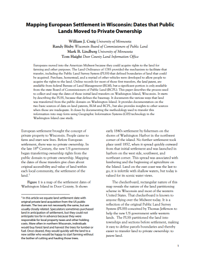
This study of washington Island was presented by Will Craig at the WLIA (Wisconsin Land Information Association) Fall Regional Conference in Oshkosh in October, 2015. The study focuses on the processes used to collect and map the dates of initial land transfers on Washington Island, Wisconsin. It starts by describing the PLSS (Public Land Survey System) and then documents the various ways that land was transferred from the public domain on Washington Island. The study documents the sources of data on land patents and describes the methodology used to transfer information into map form using GIS (Geographic Information Systems).
Download Publication (2 MB)