
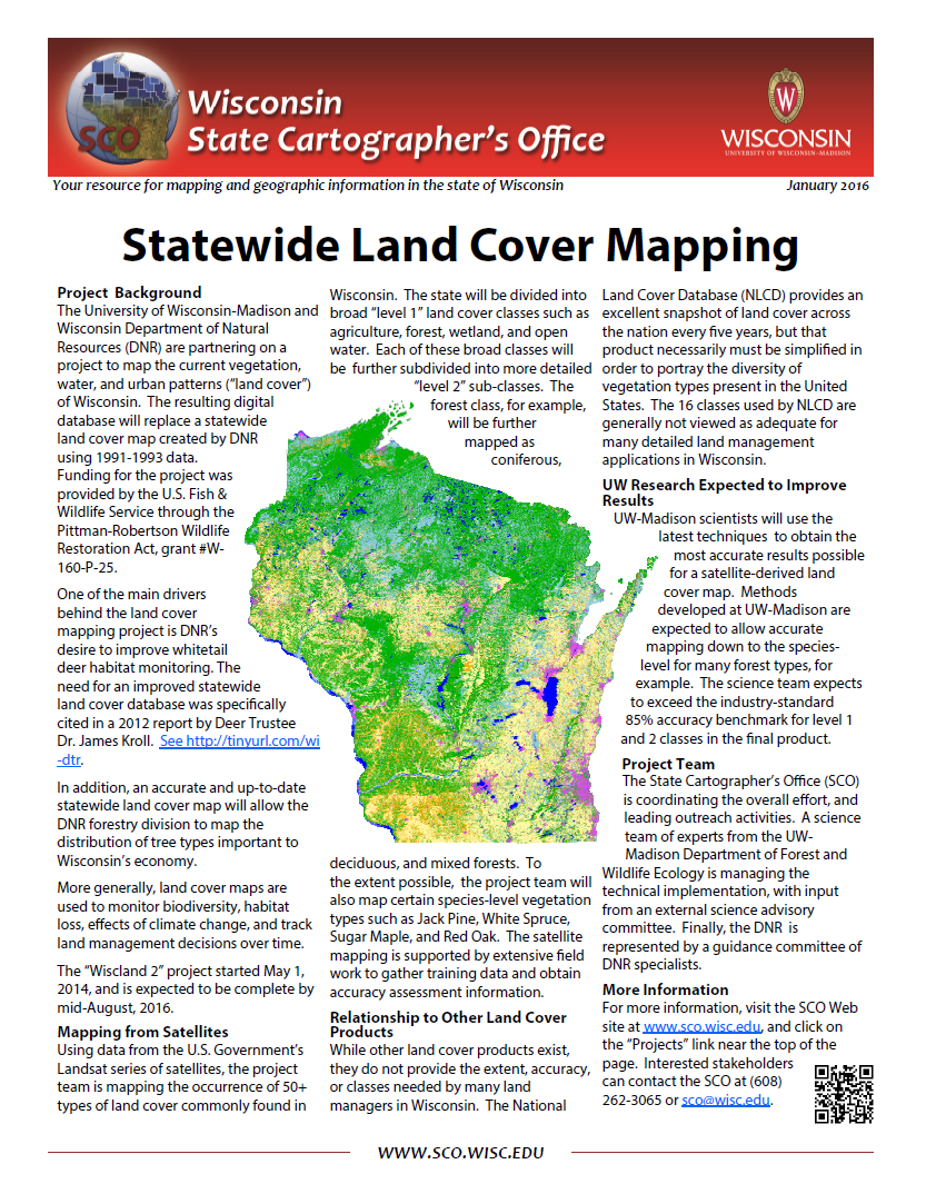
The University of Wisconsin-Madison and Wisconsin Department of Natural Resources (DNR) partnered on a project to map the current vegetation, water, and urban patterns (“land cover”) of Wisconsin. The resulting digital database, which was published in the Fall of 2016, replaced a statewide land cover map created by DNR using 1991-1993 data.
Download Publication (2 MB)