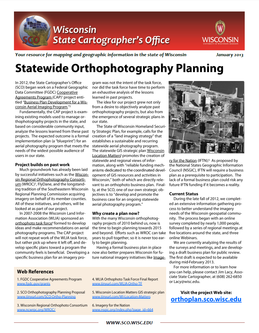
In 2012, the State Cartographer’s Office began work on a Federal Geographic Data Committee Cooperative Agreement Program project entitled “Business Plan Development for a Wisconsin Aerial Imaging Program.” The result of that process was a discussion paper for an aerial photography program designed to meet the needs of Wisconsin aerial imagery users.
Download Publication (1 MB)

