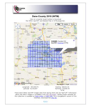
Two much-anticipated statewide imagery datasets are now available from the WisconsinView.org data portal.
WROC 18-inch
The first is a statewide 18″ imagery dataset acquired during the spring of 2010. The statewide product was assembled by the WROC contracting team (Ayres Associates and Aero-Metric) by resampling high-resolution, high-accuracy imagery acquired over WROC member counties, along with additional 18-inch lower-accuracy imagery acquired over counties that did not participate in WROC.
The specifications for the 18″ dataset include:
- 18” spatial resolution
- Leaf-off
- 3-band natural color
- GeoTIFF format
- Wisconsin Transverse Mercator projection
- Tiled by USGS quarter-quadrangle
- The data are in the public domain
NAIP GeoTIFFs also available, infrared band included
In addition, 4-band GeoTIFF images from the 2010 National Agriculture Imagery Program (NAIP) flights are also now available from WisconsinView. While the MrSID county mosaics for the 2010 NAIP flights have been available from WisconsinView for some time, the GeoTIFFs are unique in that they contain a fourth near-infrared band. The fourth band is particularly useful for monitoring vegetation health, wetlands mapping, and water feature delineation.
With this recent addition, the 2010 NAIP imagery is now available from WisconsinView in a variety of formats:
- GeoTIFFs, tiled by USGS quarter-quadrangles, projected to Wisconsin Transverse Mercator
- GeoTIFFs, tiled by USGS quarter-quadrangles, projected to UTM Zone 15 or 16
- MrSID, tiled by county, projected to Wisconsin Transverse Mercator
-
MrSID, tiled by county, projected to UTM Zone 15 or 16
Check out a preview of the 2010 NAIP imagery in an experimental Google Maps interface:
http://tinyurl.com/3p8jmxc (IR version)
http://tinyurl.com/3flcwu8 (True-color version)
Many thanks are due to WisconsinView Director Dr. Sam Batzli for his hard work in making these important datasets available to the user community!

