
This year’s UW-Madison Geospatial Summit will feature two keynote addresses, one of which will be by Dr. David Cowen.

Cowen is Carolina Distinguished Professor Emeritus and former chair of the Department of Geography at the University of South Carolina. He is a former Chair of the National Geospatial Advisory Committee (NGAC), a Fellow of the University Consortium for Geographic Information Science (UCGIS), and a National Associate of the National Academies of Science.
Cowen’s address will provide his perspective on the current status of the National Spatial Data Infrastructure (NSDI). He will draw from his extensive experience with the National Research Council’s Mapping Science Committee, chairing the NRC study National Land Parcel Data: A Vision for the Future, a recent term as chair of the National Geospatial Advisory Committee, and his service as vice chairman of the Coalition of Geospatial Organizations (COGO) Report Card Committee on the NSDI. Through these activities he has observed and analyzed the Federal geospatial landscape for the thirty years since president Clinton issued Executive Order 12906, Coordinating Geographic Data Acquisition and Access: The National Spatial Data Infrastructure in 1994. He will comment on the changing role of various stakeholders in the collection, maintenance and sharing of geospatial data.
Cowen’s address will occur from 2-3 pm on Monday, April 20, 2015, at Union South in Madison.
More information on the Summit can be found here.
The Geospatial Summit is an annual gathering of faculty, staff, students, and geospatial community members. The event is open to the public and free for all participants.
If you plan to attend the Summit please register so that we can keep you informed of activities. We are also still accepting abstracts from those who would like to do a 20-minute presentation on a geospatial project. Consider presenting even if you are not affiliated with UW-Madison. Abstract submissions can be made here.
The Summit is organized by the UW-Madison Geospatial Alliance, a group of faculty, staff, and students involved in GIS. The Alliance is a network for sharing information and resources, and helping support student needs through a help desk, online course schedules, and information about service-learning and career opportunities.
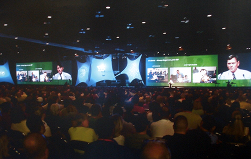
Cowen presenting at the Esri User Conference in San Diego.