
Register now for the 2015 UW-Madison Geospatial Summit!
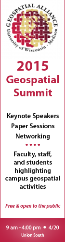
We are looking for faculty, staff, and students to showcase your GIS applications, geospatial technologies, and geospatial activities at the 2015 UW-Madison Geospatial Summit. The event will be held on Monday, April 20, 2015, from 11:00 am – 3:00 p.m. at Union South on UW-Madison campus. Currently we have 18 geospatial sessions (20-minutes in length) available. The Summit also features two keynote speakers: Dr. David Cowen is Carolina Distinguished Professor Emeritus and former chair of the Department of Geography at the University of South Carolina and Dr. Nick Chrisman who is currently editor of Cartography and Geographic Information Science, the journal of the Cartography and Geographic Information Society.
The Summit is organized by the UW-Madison Geospatial Alliance, a group of faculty, staff, and students involved in GIS. The Alliance is a network for sharing information and resources, and helping support student needs through a help desk, online course schedules, and information about service-learning and career opportunities.
Consider attending and/or presenting at the Summit even if you are not affiliated with UW-Madison. The Summit is open to all and there is no registration fee. Please register so that we can keep you up-to-date on activities.
For questions, contact either Brenda Hemstead, Geospatial Summit Coordinator or Howard Veregin, State Cartographer.