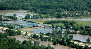
The State Cartographer’s Office is creating a GIS database with multiple layers related to flood exposure and vulnerability for northern Ashland County. This project is in response to recent flood events along the Lake Superior coast.
For the past few months, we have been assembling data layers that we think would be important in such a dataset, but we want to make sure we are including layers that are locally relevant. That’s why we’d like to ask you which dimensions of flood exposure and vulnerability are most important to you.
As you are going through the following survey, please imagine that you are the one who is responsible for creating your municipality’s flood mitigation plan in preparation for future floods.
If you have any questions or comments that you don’t feel you can address on the survey, please reach out to me by email.
Thank you in advance for your help!
Click here to take the survey or scan the QR code below.