
Sample of Data on WGNHS CD
Geological mapping for our state took a big step into the digital age recently with the release of a series of CD-ROMs by the Wisconsin Geological and Natural History Survey.
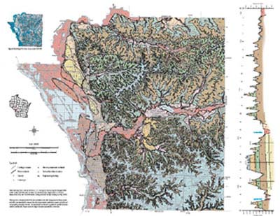
These discs can be categorized into three groups. The most diverse group contains the digital equivalent of county-level reports with accompanying maps (all in PDF) that have been published over the last decade or more. In addition, these CDs have GIS files derived from the original report along with supporting metadata.
There is one CD for each of the following previously published reports:
- Pleistocene Geology of Florence County
- Pleistocene Geology of Forest County
- Pleistocene Geology of Vilas County
- Glacial and Related Deposits of Langlade County
- Geology of La Crosse County
- Geology of Sauk County
- Depth to Bedrock Map of Sauk County
- Water-Table Elevation Map of Sauk County
The second group is a series of discs holding well-constructor’s reports, generally one for each county in the entire state. These are scanned from the original paper documents.
Finally, for those searching for "deeper" geological information, there is a lithological and stratigraphic database named wiscLITH which is provided in Microsoft Access format along with some forms and queries.
Note that no software is provided with any of these types of data.

WGNHS CD cover
For prices for single or multiple CDs, consult the WGNHS web site or call 608/263-7389.