
 Each year at their International User Conference, Esri welcomes submissions for their map gallery. In 2025, two Wisconsinites received accolades for their entries.
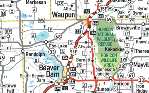
Katie Ginther, Cartographic Specialist with the Wisconsin Department of Transportation, was the WINNER in the reference map category for the 2025 Wisconsin Official State Highway Map. Katie’s map is particularly noteworthy because it was the first Wisconsin state highway map published using GIS software… a major change from the good old days of CAD!
Atlas Guo, a PhD student in the UW-Madison Department of Geography (and a perennial winner in the Wisconsin Land Information Association annual map contest!) received three different honors. By my count, Atlas had a total of nine entries in the Map Gallery. Surely that’s some sort of record?
- United States of Rising Hazards (Finalist, Interactive Web Map)
- Mapping My Biking Journey with Distance of Distinct Traveled Paths (Finalist, Innovative)
- Land Flowing with Milk and Honey (Finalist, Map with a Message)
Congratulations Katie and Atlas!
County of Rock Receives SAG Award
Each year Esri users are nominated by Esri leadership and distributor organizations, with finalists selected by President Jack Dangermond. The “Special Achievement in GIS” honors excellence in the Esri user community.
The County of Rock was a SAG winner in 2025 for their work to implement a “geospatial storefront” to provide a central location for engaging employees with the county’s expanding GIS program. Congrats to Jennifer, Michelle, Todd, and Nick for the honor!