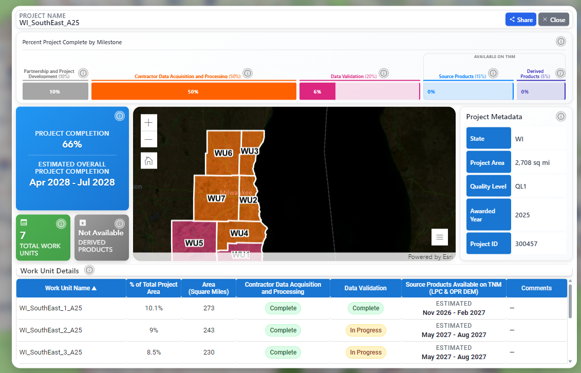
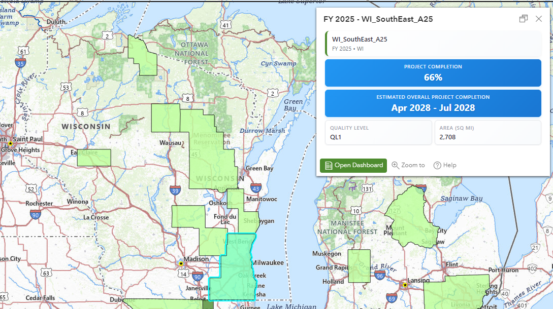
 Today I learned about a beta tool from the U.S. Geological Survey called the “3D National Topography Model Data Acquisition Project Tracker,” or 3DNTM Tracker for short. For many years the WisconsinView Data Archive (WDA) has been the go-to place for downloading Wisconsin lidar-derived elevation products. (Which in my humble opinion GeoData@Wisconsin and the WDA is much easier to use than the National Map, but that’s a story for a different day.)
Knowing when to expect data for inclusion in GeoData@Wisconsin has been challenging for us in the past. This tool shows a shocking amount of detail from project development, contractor data acquisition, data validation, source product development, and derived product development. Importantly, it also provides an estimated delivery window for data.
I’ve only explored the 3DNTM for a matter of minutes, but so far it is impressive! Many thanks to Peter Herreid from the Wisconsin Land Information Program for passing along news of the tool, which originated from Cyndi Rachol, Acting National Map Liaison for Wisconsin.