What can we help you find?
Featured News
More NewsDigitizing the Historic Bordner Maps – A Group Effort
June 25, 2025
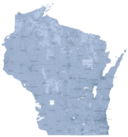
Through the efforts of hundreds of University of Wisconsin students and staff, a statewide GIS layer of the 1930-era Bordner dataset is now available on Geodata@Wisconsin.
Well That’s … Odd?!
June 11, 2025
Check our these fun and silly sightings found on aerial photographs.
Forum Provides Education on Public Land Survey System
June 10, 2025
Presentations, a visit to a local PLSS corner, and a game of PLSS Jeopardy!
O Say, Can You See?
May 15, 2025
Where was Francis Scott Key when he penned his famous poem during the War of 1812, and why does it matter?
Latest Jobs Postings
- July 2, 2025
- June 26, 2025
- June 24, 2025
- June 19, 2025
- June 13, 2025


