
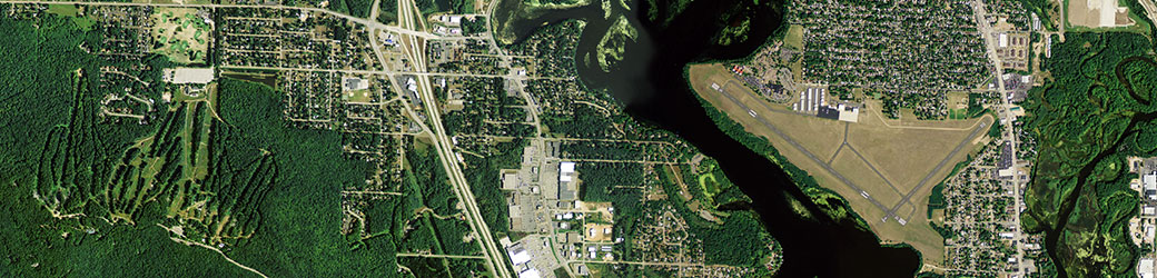
Imagery from the summer 2013 National Agriculture Imagery Program flights over Wisconsin are now available as a free download from the USDA-NRCS Geospatial Data Gateway.
The specifications for the imagery are the same as in the past: 4-band digital color (red, green, blue, near-infrared), 1-meter spatial resolution, leaf-on, MrSID or Geotiff formats, projected to UTM zone 15 or 16. (Note: the MrSID county mosaics available via the Geospatial Data Gateway are three-band natural color only. GeoTIFFs are not available from the site.)
Data can be downloaded from the Geospatial Data Gateway by selecting a county, defining an area of interest on a map, or specifying a place. Personally, I’ve found the default “Order by County/Counties” option to be the most reliable.
I spoke to Sam Batzli from WisconsinView earlier this week. He recently obtained a hard drive containing the original GeoTIF-format tiles, and MrSID compressed county mosaics. If all goes well, he hopes to have those available for download from the WisconsinView.org Web site by the middle of February.
2013 NAIP near Wausau