
A recently signed memorandum of understanding between Larry Cutforth of the USDA’s Wisconsin Farm Service Agency and Tom Lillesand, director of WisconsinView, has opened the door for free National Agriculture Imagery Program (NAIP) downloads from the WisconsinView.org website.
The USDA Farm Service Agency acquires digital imagery on a yearly basis during the growing season for spot-checking reported acreage of crops, and for updating farm records. In 2004 the NAIP program produced color imagery as county mosaics for 34 of Wisconsin’s 72 counties at a two meter resolution. The imagery was acquired between June 20th and August 30th 2004 with a positional accuracy of +/-3% as compared to a standard mosaicked USGS digital orthophoto quadrangle. The 2004 imagery is not intended to be used for applications requiring a high degree of spatial accuracy.
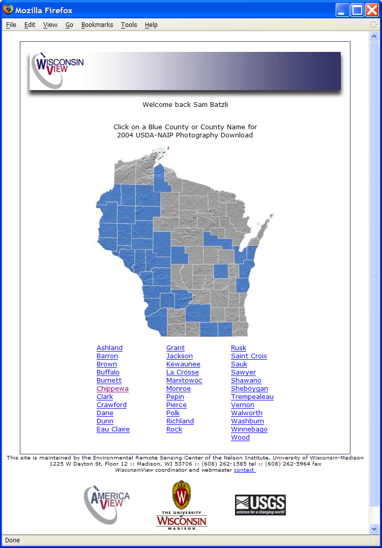
Users can access the data for free through the wisconsinview.org website after establishing a profile and filling out a simple form. The current simple interface will be enhanced over the next year with new features such as online browsing of the imagery, and a dynamic mapping interface.
About WisconsinView
One of the main goals of WisconsinView is to improve public access to imagery of Wisconsin. Statewide MODIS and Landsat satellite imagery has been available for download for over a year, but the 2004 NAIP photography marks the first time WisconsinView has made aerial photography available for download. WisconsinView records show that in its first three weeks of availability, over 100 individuals logged-in and downloaded NAIP imagery from the system.
The WisconsinView program was established in April of 2004, and along with 13 other “StateViews,” is funded by the AmericaView Inc. consortium with money from the U.S. Geological Survey Land Remote Sensing Program.