
(click for a current status of 2009 flights)
Wisconsin may be in line for statewide 1-meter resolution digital orthophoto coverage sooner than expected. In late May, the U.S. Department of Agriculture Farm Service Agency (FSA) made a policy decision, based on a congressional funding earmark, to nearly double the number state National Agriculture Imagery Program (NAIP) projects to be flown this summer. According to a document distributed by FSA, Wisconsin is currently scheduled for a 2010 NAIP flight, which is a departure from the original plan of 2011.
The effects, if any, this will have on the Wisconsin Regional Orthophotography Consortium or an $800,000 orthophoto grant proposal made by the Wisconsin Department of Military Affairs to the U.S. Department of Homeland Security are currently unknown.
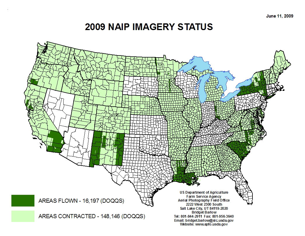
In total, USDA has allocated $24 million for calendar year 2009 NAIP acquisitions. This amount, combined with cost share funding from other federal and state partners, resulted in enough funding to fly 32 states in 2009, 15 more than originally for scheduled. Wisconsin is not one of these states since it was flown in 2008. The remaining 16 states, including Wisconsin (NAIP does not fly Alaska and Hawaii), will be flown next summer if USDA-FSA sticks to their new plan.
FSA acquires aerial imagery during the agricultural growing seasons in the continental U.S. NAIP imagery is natural color with a 1-meter ground resolution. This year, for the first time, imagery for all 32 state projects will be acquired using digital cameras. Because digital cameras can simultaneously acquire color infrared images along with the natural color, at least ten states have provided additional funding to acquire the color infrared data.
Wisconsin’s 2008 NAIP imagery is available for free from the WisconsinView Web site.