Dr. Sam Batzli, Director of WisconsinView, announced today that statewide imagery from the 2010 USDA National Agriculture Imagery Program (NAIP) flights over Wisconsin is now available for download from the WisconsinView Web site.
Individual MrSID-format images for all 72 Wisconsin counties are available in zipped packages containing the image and associated metadata. The 3-band true-color imagery is projected to either UTM Zone 15 or 16, and has a spatial resolution of one meter. In addition, a shapefile showing the exact acquisition date and time of each image “slice” used to create the MrSID mosaic is also available for each county.
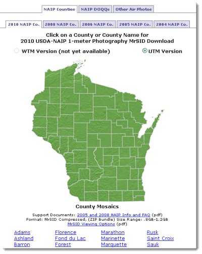
New WisconsinView users must first register for a free account. Once logged in, a simple clickable state map is used to download data on a county-by-county basis.
Over the coming months the Wisconsin Department of Natural Resources will work on re-projecting the UTM imagery to Wisconsin Transverse Mercator. Once complete, this dataset will also be available from the WisconsinView Web. Later in the spring, 4-band GeoTIFF images tiled by USGS quarter-quadrangles will also be available.
Thanks are due to Brenda Zachman from the Madison Farm Service Agency (FSA) office for expediting the process of transferring the NAIP imagery from FSA to WisconsinView for broader public distribution.
Established at UW-Madison in 2004, the goal of WisconsinView is to enhance the coordination of remote sensing data access and use across the state. WisconsinView is the Wisconsin-based partner of the national AmericaView network.