Recently, as a result of an inquiry from a Professor at St. Norbert College, I found myself searching through the online archive of the Wisconsin Mapping Bulletin looking for information on the history of topographic mapping in the state.
I was in luck. In 1985, the Mapping Bulletin published a four-part series written by Chris Baruth, then a map curator and librarian at the American Geographical Society Library (AGSL) at the University of Wisconsin-Milwaukee. Chris later became Curator of that library, retiring in 2011.
The article was published to mark the completion of the final US Geological Survey 7.5-minute topo quad for Wisconsin. As Mapping Bulletin editor Christine Reinhard wrote at the time,
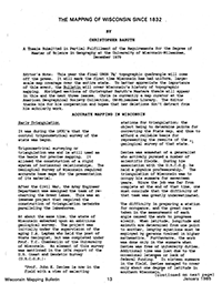
Editor’s Note: This year the final USGS 7-1/2′ topographic quadrangle will come off the press. It will mark the first time Wisconsin has had uniform, large-scale map coverage over the entire state. To better appreciate the importance of this event, the Bulletin will cover Wisconsin’s history of topographic mapping. Abridged sections of Christopher Baruth’s Masters thesis will appear in this and the next three issues. Chris is currently a map curator at the American Geographical Society Collection, tJW-Milwaukee Library. The Editor thanks him for his cooperation and hopes that her deletions don I t detract from his scholarly work.
Thinking others might be interested as well, I extracted the four-part article, along with other related pages from the 1985 issues of the Mapping Bulletin, as a single PDF.
Please take a look if you are interested in learning more about the history of mapping in Wisconsin. And be sure to check out other articles in the online Mapping Bulletin archive, which go back to 1975 and can be searched by keyword.

