

Education Roundtable
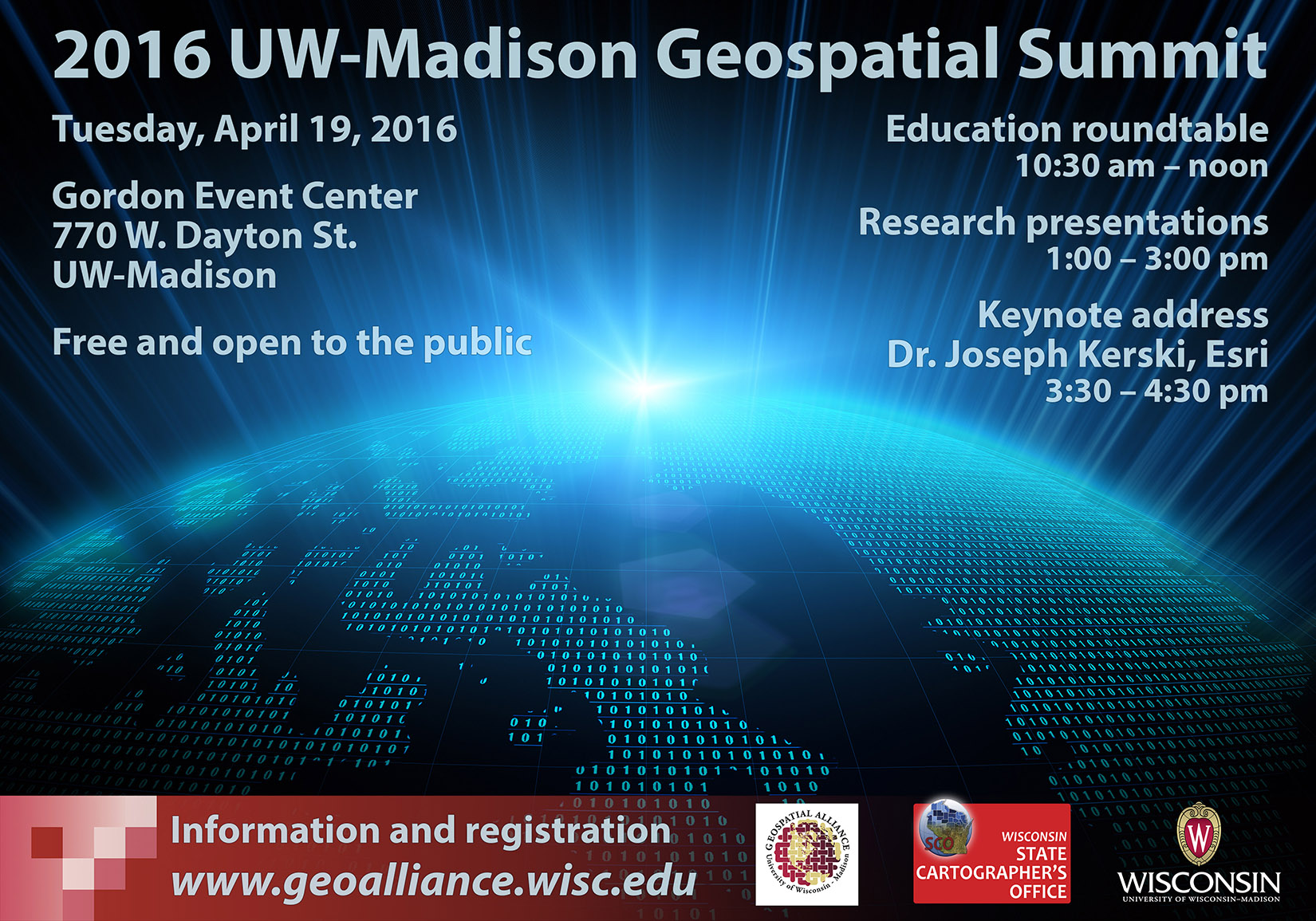
A special education roundtable will kick off the 2016 UW-Madison Geospatial Summit on Tuesday, April 19 from 10:30 am to noon. The session will bring together academics and professionals to discuss the topic, “What geospatial workforce skills are on the horizon and how is higher education responding?”
Panelists include Joseph Kerski, Education Industry Curriculum Development Manager at Esri; David Hart, President, Continental Mapping Consultants; Emily Champagne, GIS Supervisor, Milwaukee Metropolitan Sewerage District; Lisa Morrison, GIS Section Chief/Acting Agency GIS Coordinator, Wisconsin Department of Natural Resources; John Czaplewski, Programmer/Analyst, Dept. of Geoscience, UW-Madison; Fred Iausly, Sr. GIS Analyst, Dane County Land Information Office; Janet Silbernagel, Professor and Environmental Conservation Program Director, Nelson Institute for Environmental Studies, UW-Madison; and Ian Muehlenhaus, Online Professional GIS Masters Program Director, Dept. of Geography, UW-Madison.
The Geospatial Summit is free and open to the public. Register for the Summit via the SUMMIT tab on the Geospatial Alliance website.
Other Details about the Summit
The 2016 Summit will be held onTuesday, April 19, 2016 from 10:30 am to 4:30 pm at the Gordon Event Center on the UW-Madison campus.
Our keynote speaker this year (scheduled for 3:30 pm) will be Dr. Joseph Kerski. Dr. Kerski is Esri’s Education Industry Curriculum Development Manager in Denver, Colorado. Before Esri he worked for many years as a geographer for the US Geological Survey and the US Census Bureau. At Esri Dr. Kerski fosters educational partnerships, conducts training in geospatial technologies, and creates curriculum and conducts research on spatial thinking and geospatial technologies. A tentative title for his talk is “Five Converging Trends: GIS&T on the World Stage.”
A total of fifteen, twenty-minute presentations will be held concurrently in three rooms from 1:00-3:00 pm. Are you doing interesting research, instruction, or service activities using geospatial technology?Consider submitting an abstract for a presentation! You don’t need to be affiliated with UW-Madison to present — we welcome participation from the broader geospatial community.