
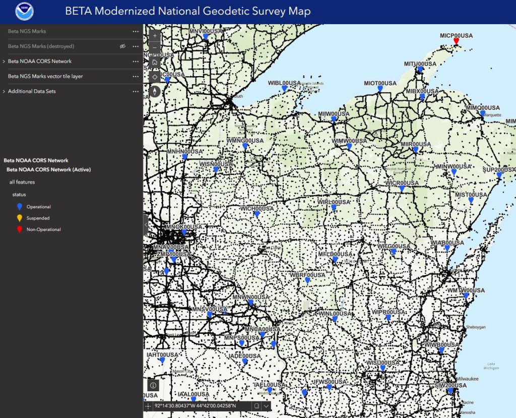
In a press release today, the National Geodetic Survey (NGS) announced the public beta release of core products in the modernization of the National Spatial Reference System (NSRS). These products will support the surveying, geodetic and GIS communities as the NSRS rolls out in 2027.
These beta products are now available through the NGS Beta website.
The products include:
- Data Delivery System (DDS) — the primary gateway for discovering, visualizing and accessing geodetic data in the modernized NSRS. It includes a modern NGS Map, Geodetic Station Pages (replacing the current NOAA CORS Network station pages) and Geodetic Mark Pages (replacing the the current ASCII datasheets).
- NGS Coordinate Conversion and Transformation Tool (NCAT) — updated to support coordinate conversions and transformations involving both the current and modernized NSRS.
- OPUS-Static — updated to process static Global Navigation Satellite System (GNSS) observations directly in the modernized NSRS.
NGS is encouraging surveyors, engineers, GIS professionals, mapping agencies, software developers, researchers and other members of the geospatial community to explore and test these products. Feedback will be used to help refine them prior to their official release. (Note: These are beta releases for testing only and should not be used for production purposes.) See the press release for further details.