
UW-Madison has an unparalleled collection of historic aerial photographs including a very rare and nearly-complete collection of the oldest aerial photos of the state, acquired by the U.S. Department of Agriculture (USDA) from 1937-1941. A new project at UW-Madison will digitally scan and archive the entire collection, and make the photographs available to the general public via a web portal.
The project, entitled “The Changing Landscapes of Wisconsin: A Digital Archive of Historic Aerial Photographs” will take place over the next three years, and utilize collections from both the UW-Madison Robinson Map Library and the Wisconsin Department of Transportation. The georeferenced photographs will be searchable by at least flight line and frame number, and geographic coordinates. There will be no cost to download the images.
Details for the project are still developing, but the first scanned images are likely to appear online in 2009. The schedule and prioritization for the scanning has not yet been set.
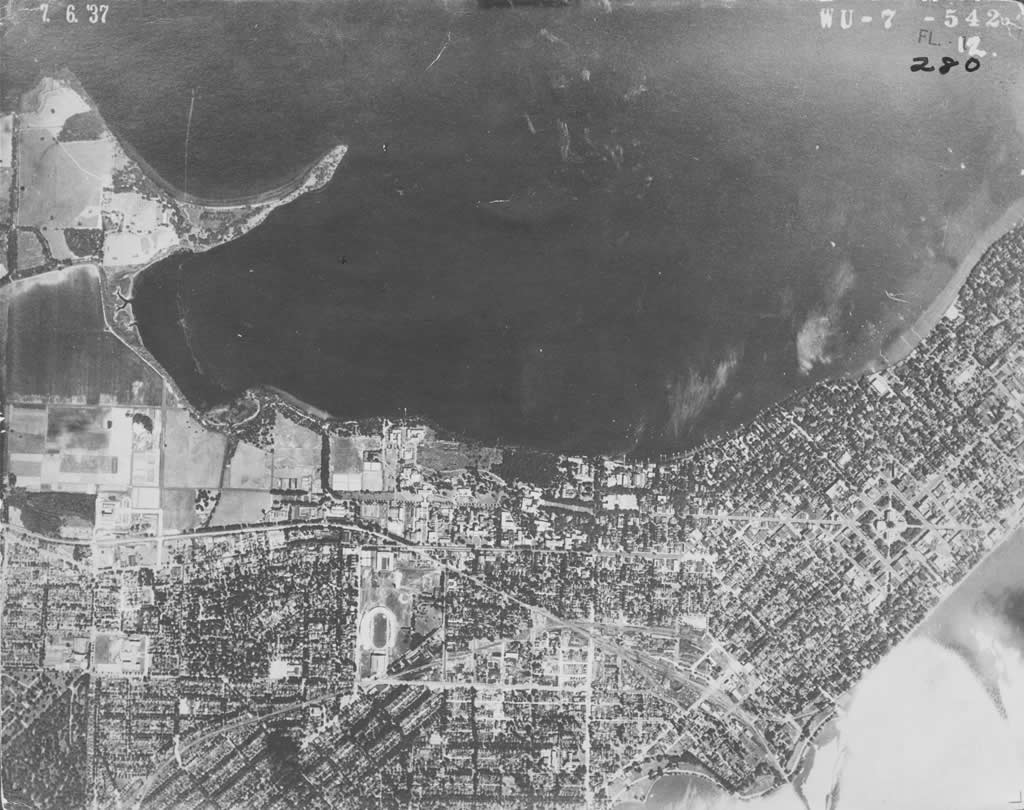
Sample USDA image (1937) over the UW-Madison
campus. (Click for a larger version.)
The USDA aerial photo collection is in constant demand by a wide range of Robinson Map Library clients because it is the oldest systematic aerial survey of Wisconsin. It has become a “baseline” for understanding changes to Wisconsin over the past 70 years. Amazingly, over one third of Robinson Map Library users from January 2006 to January 2007 visited the library specifically for these materials.
Unfortunately, the photographs are fragile and deteriorating, and thus never leave the library. The project was developed not only to preserve the resource, but also to improve public access.
Funded by the Ira and Ineva Reilly Baldwin Wisconsin Idea Endowment, the digital preservation project is a cooperative effort of the UW Digital Collections Center, the Robinson Map Library, the Department of Geography, the State Cartographer’s Office, and the Wisconsin Department of Transportation.