
The interim Wisconsin Geographic Information Coordination Council hosted a kick-off meeting of a dynamic, statewide stakeholder “Network” at the end of October. The purpose of this meeting was to identify and prioritize issues and goals for the next 18 months. More than seventy-five professionals from across the state attended.
Introductions
Curt Pulford, Geographic Information Officer, and Ted Koch, State Cartographer, welcomed participants to the inaugural Network meeting, and thanked everyone for their interest and dedication. Both expressed their enthusiasm and support for this new organization, and emphasized the importance of the Network in guiding statewide geospatial initiatives. Lea Shanley, Outreach Specialist with the State Cartographer’s Office, followed with a brief presentation on the process of creating WIGICC. More information can be found at “Creation of WIGICC” on the WIGICC Web site.
What will WIGICC do?
Through the process of organizing the Wisconsin Geographic Information Coordination Council, the working group facilitating the process identified a number of broad goals. It is likely that, as the user network grows, the number of goals will not only increase, but will become more specific as dialogue occurs within and among the communities of practice.
These general goals include:
- Better (easier) access to data by all users.
- Eliminate or reduce the duplication of data gathering.
- Create an awareness of the information that is already available, e.g. land information.
- Provide statewide leadership, guidance, and strategic planning.
- Facilitate the equitable creation, access, and sharing of geographic information.
- Evaluate and promote best practices in GIS.
- Identify additional funding sources to support and maintain GIS.
- Advise and consult decision-makers on the appropriate use of GIS for societal issues.
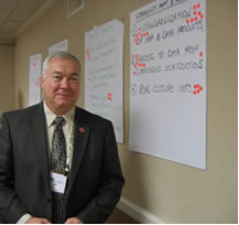
Jeff Stauber, WIGICC member.
Jeff Stauber, a new interim Council member and former fire chief, provided background on each of the new council members, and then offered his thoughts on “What will WIGICC do?” Jeff noted, for example, that WIGICC may provide information and education on how administrators, managers, and responders within the emergency services community could use GIS:
- Evaluate how it currently provides services.
- Plan for the future allocation of resources based on available data.
- Provide accurate information to first responders via mobile mapping and pre-incident plans.
- Provide accurate information during a disaster situation to those working in the field, in Command Posts, and in Emergency Operations Centers.
- Provide accurate information to the media and those directly affected by the incident.
Who is the Network?
Dave Fodroczi, Planning & Zoning Director for St. Croix County, and Curt Pulford, shared their visions for the “Network.” Dave commented that the Merriam-Webster Dictionary defines a network as “a usually informally interconnected group or association of persons (as friends or professional colleagues).” “How many of you would consider many of the people in this room to be your friends and colleagues,” Dave asked. Most in the room raised their hands. “So, you’re the Network!” Dave responded. He continued, “We have already informally established a generic, small “n” network around GIS issues before the need for one was identified. Now we all have to earn our capital letter! The challenge going forward for the WIGICC and the WIGICC Network will be to evolve this informal small “n” network into a more formalized large “N” network that will advise, guide and support the WIGICC into the future.” Curt Pulford followed with suggestions on how the stakeholder Network might communicate their ideas and needs to the Council.
Priorities and Goals
Before the meeting, participants were asked to identify broad areas of interest related to statewide geospatial coordination. Subsequently, participants were asked during the afternoon session to hold small group discussions around these areas of interest. Specifically, participants were asked to: (1) identify and brainstorm issues that are meaningful with respect to these themes; (2) prioritize the top 2-3 issues and projects within each of these themes on which to focus efforts in the next 18 months; and (3) identify steps that the Council and we, as Network members, can take to address these issues. The themes addressed included emergency management and homeland security, public health, business geographics, data policy, data infrastructure and services, transportation, and land use planning & environmental management.
Key issues and priorities that emerged from the first round of small group discussion were then carried forward into a second session where participants identified specific actions that Network members and the Council could take in the next 18 months.
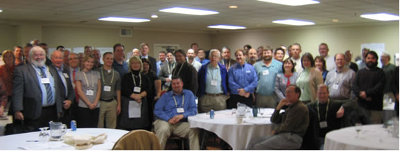
Network meeting participants.
Next Steps
On December 17th, the Council will meet at the Bay-Lake Regional Planning Commission Community Room in Green Bay to review the information gathered during the Network meeting, and based on that information, establish goals and objectives for the coming year.
You too can join the discussion around these key issues and priorities. Share your thoughts on what the goals and objectives should be in the coming year by participating in the Network Forum!