
The fieldwork season has wrapped up and the Wiscland 2 team is now making maps! Over the summer, ten busy DNR field technicians scoured the state in search of field samples to help complete the land cover samples database the SCO has been compiling over the last year. This database includes land cover data points from a vast array of federal, state, and local habitat and forest monitoring projects across Wisconsin, and now, over 16,000 points from our own project field crew. The field technicians provided the “boots on the ground” necessary for this project, collecting new field data and also providing quality assurance by noting any errors or land cover changes in the database.
After three months of effort, the field technicians visited over 3,000 unique sites which were processed and sampled into points, fulfilling 90% of the original field requests. They were also able to locate and correct approximately 100 individual land cover points that were mislabeled, typically due to land cover change. The Wiscland 2 project now has over one million individual land cover data points derived from a variety of sources. These will be used to train and validate the automated classifiers we are now beginning to implement.
While the field season was extremely successful, there were still a few land cover classes that were difficult to collect. For example, invasive species like buckthorn, honeysuckle, and phragmites might seem to be everywhere, but they were only found alongside roads, in the forest understory, or in small isolated patches. These areas didn’t meet the criteria set out for field collection. In the upcoming weeks, the Project Team and DNR Guidance Team are working together to assess the classification scheme and determine the best course of action.
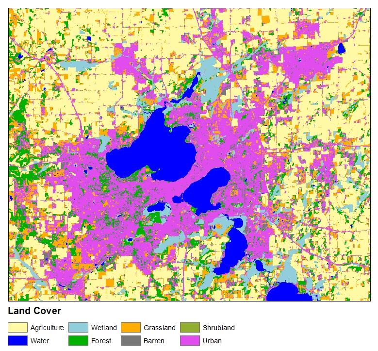
Now that all sample data are in, we are excited to start mapping. Initial classifications of the Level 1 (least detailed) classes are looking great, and range from 85-91% overall accuracy across all classes. We’ve also run test classifications for several areas at the more detailed levels of classification (Levels 3-4) which produced per-class accuracies ranging from ~63% to over 90%. While these are not the final map products, this level of accuracy is highly encouraging for the future products.
Work is progressing steadily to produce the updated land cover map of Wisconsin. For the latest project information, be sure to visit the Wisconsin Land Cover Project Page and our most recent quarterly report to DNR.
The Wiscland 2 project is a cooperative effort between UW-Madison and the Wisconsin DNR, with funding from the Federal Aid in Wildlife Restoration Program, grant #W‐160‐P‐25.