
 We have published our 2016-17 Annual Report. Some highlights of the year include:
- We employed a dozen student assistants to work on internal and externally-funded projects involving cartography and GIS (Geographic Information Systems), including partisan campaign contributions, renewable energy, crime mapping, election results, and agricultural land value.
- We began offering a two-day workshop on the essentials of LiDAR data, which we developed in collaboration with the Wisconsin Geographic Information Office.
- We completed Version 2 of the Statewide Parcel Project, which provides public access to state-wide digital tax parcel data, and began work on Version 3. This is a collaborative project with the Wisconsin Department of Administration and the state’s 72 county land information offices.
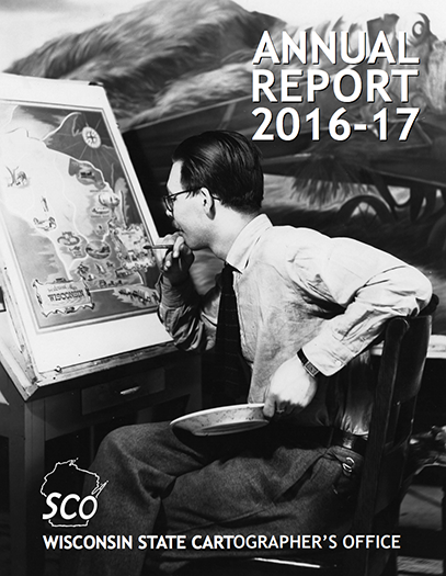
- We launched several new collaborative projects to facilitate digital access to historical GIS data, including the 1930s “Bordner” or Wisconsin Land Economic Inventory maps.
- We rolled out new versions of two of our most popular online mapping applications: the Aerial Photography Catalog and the Wisconsin Historic Aerial Imagery Finder.
- We augmented our repository of local Public Land Survey System data, such that high-accuracy PLSS corner points are now publicly available online for most of the state.
- We expanded the geospatial data holdings in GeoData@Wisconsin, a collaborative effort with the Robinson Map Library.
- We enhanced our web presence, generating over 535,000 pageviews on our website for the year.
- We organized the 8th annual Geospatial Summit and the 3rd Parcel-Surveying Forum.
The SCO is unique, the only office of its kind in the country tied so closely to an academic institution. Our mission embodies the Wisconsin Idea, the principle that expertise within the University of Wisconsin should enhance the quality of life for all citizens of the state. We continue to pursue collaborative projects that facilitate the creation and exchange of geospatial data, services and information in support of education, innovation and service delivery to the state’s citizens.
We invite you to take a few minutes to look over the attached report. If you have any comments please contact Howard Veregin (608-262-6852 or veregin@wisc.edu) or visit the SCO website at www.sco.wisc.edu.