
As part of the Statewide Parcel Map Initiative, Wisconsin’s Department of Administration (DOA) and State Cartographer’s Office (SCO) have announced the release of the Version 2 (V2) Statewide Parcel Map Database, the second version of Wisconsin’s statewide digital parcel map and the primary version of Wisconsin’s statewide county administered zoning database.
Statewide Parcel Layer – Public Availability
Visit the V2 Parcel Project’s Data Distribution page to download statewide parcel or zoning data as file geodatabase or shapefile formats.
User feedback is appreciated!
Those who download the V2 database are encouraged to share their feedback to help improve future versions of the statewide parcel map! Click this link to share feedback, suggestions, and notes on how you use this data.
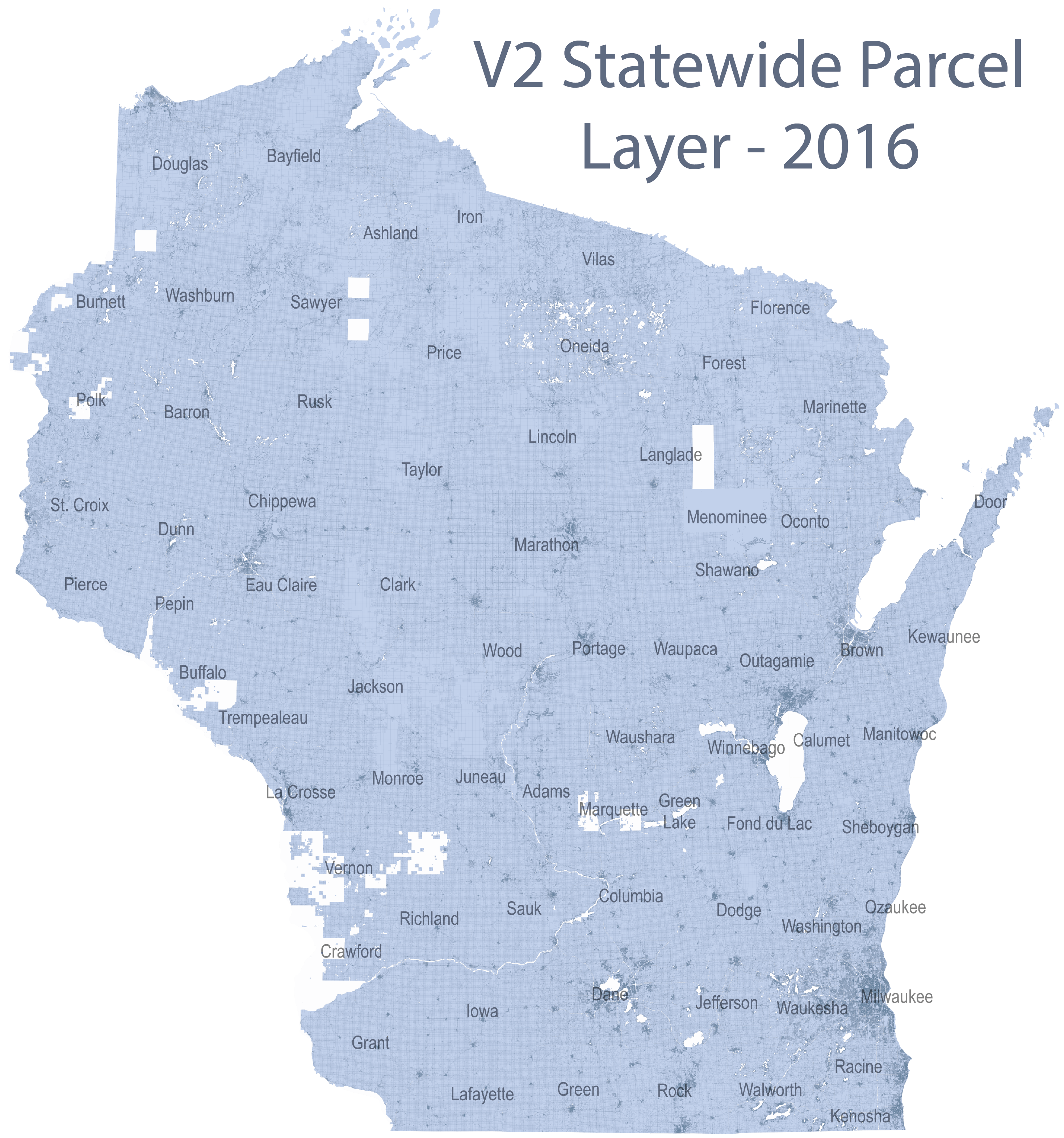
V2 Statewide Parcel Layer (click to enlarge)
What’s next?
The statewide parcel and zoning layers will also be available to the public on September 30th, 2016 through a V2 web application. Updates regarding this web application will be posted to the SCO’s Parcel Project page.