
 Those who use LiDAR data in Wisconsin are likely already familiar with Wisconsin View and data on its FTP server. Anyone looking to download Wisconsin LiDAR data can find it on Wisconsin View using the SCO’s LiDAR Data Inventory page to find a specific county or city delivery.
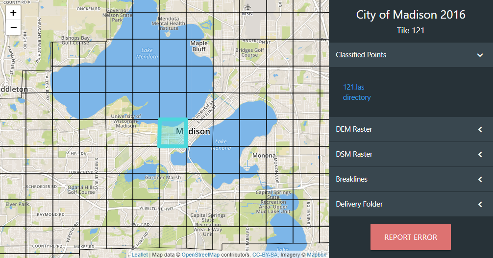
LiDAR datasets can be quite large, which is why they are often tiled into smaller files. Previously, if users wanted specific tiles from a delivery, they needed to download the tile index, load it into a desktop GIS, add a reference layer, select the tile, then go back to the FTP server, and finally navigate through the different folders to download the specific tile for each dataset.
With the new interactive tile index application, the workflow of finding a tile and its corresponding files is greatly simplified. Users can simply click on the Tile Index link after selecting their desired county on the LiDAR Inventory page. It is worth noting that not all deliveries have a tile index; however, most do and all new deliveries will.
See for yourself by checking out the Madison tile index!