
A March 27th posting on the Google Lat Long Blog announced the availability of new street-level photography for the Madison area in Google Maps. Their so-called “Street View” feature of Google Maps lets the user navigate along the street with simple controls, and rotate around in a 360-degree panoramic image.
The new Madison photography adds to the Milwaukee images announced by Google back on February 12th. In fact, much of southern Wisconsin between Milwaukee and Madison, and points south toward Chicago, is now covered.
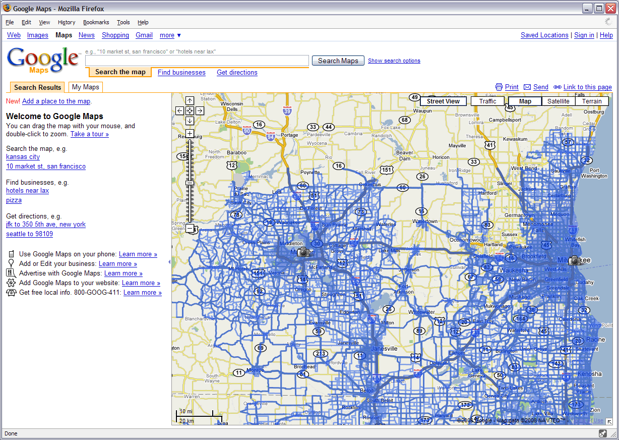
Southern Wisconsin Street View Coverage
Beyond the immediate “gee-wiz” factor, Street View does have great practical use. For example, I’m using Street View, along with oblique imagery in Microsoft’s Live Search Maps site, to scope out a family vacation to San Francisco. It’s a powerful thing to be able to pick (or avoid) a hotel based on how the surrounding neighborhood looks. I have to believe the Real Estate industry loves this stuff, and the utility it provides to potential home buyers. Privacy advocates on the other hand, well, they may not be quite as thrilled. But that’s a different article for a different day!
For some added fun, check out the “Dual Maps” tool on Mapchannels.com. With it you can see a Google Street View image, an overview map, and an oblique image all in one view. What will they think of next?