
Quick Links:
As part of the Statewide Parcel Map Initiative’s Version 1 Project, the State Cartographer’s Office (SCO) and the Wisconsin Department of Administration (DOA) have detailed submission formats and benchmarks required for future cycles of the Parcel Initiative. To help counties efficiently process parcel and tax roll data, the SCO has released a suite of GIS tools that handle the most common and time-consuming hurdles to data submission.
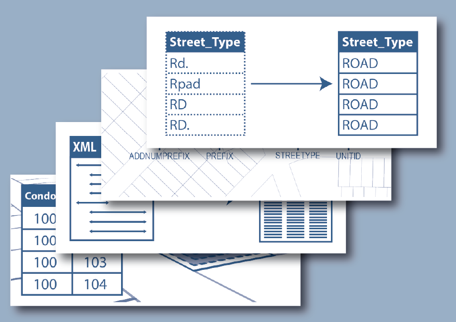
Tools Available:
- Address Parsing Tool – Parse site addresses into sub-address elements
- DOR XML Parse Tool – Translate Wisconsin Department of Revenue Tax Roll XML into a GIS table
- Data Standardize Tool – Standardize file geodatabase feature class data via the creation of a lookup table
- (Available in mid-November) Condo Stack Tool – Model condos by stacking condo parcel geometries by owner
Visit the Parcel Initiative’s Tools and Guides homepage to download the packaged (.zip) files for installing the tools, as well as PDF guides and YouTube video tutorials covering tool installation and execution.
On the Horizon:
The Version 2 parcel data submission will take place in early 2016, but the tools are being released now to allow counties time to make any necessary adjustments at the local level. To determine which tools might be useful to you, please consult the V1 Interim Report and Digital Appendices. A helpful summary of the benchmarks for parcel data can be found on the WLIP webpage.
Also note that while these tools target the Wisconsin Parcel Initiative, they may also be of utility for GIS purposes outside of the Parcel Initiative.